
Case study analysis: BiH participation example
The Case Study - Čengić Vila Sarajevo
Between March and June 2025, architecture and sociology students from the University of Sarajevo ran a participatory design process in Čengić Vila, Novo Sarajevo — the first fully interdisciplinary iteration of a longer-running municipal studio series. Three student teams worked in parallel: one mapped the neighborhood's public buildings, green areas, recreation spaces, and parking; one surveyed residents; one organized outreach and public panels.
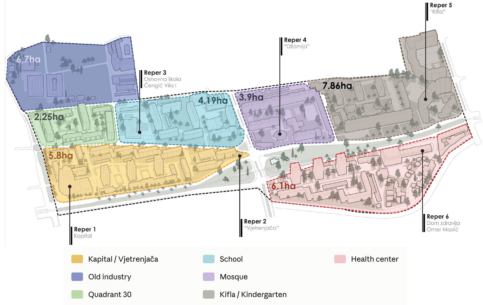
What the Mapping Found
The spatial analysis showed a fragmented public realm typical of post-socialist neighborhoods: public buildings unevenly distributed, recreation infrastructure scarce and clustered rather than spread out, green areas small and mostly ornamental near building entrances, and parking occupying a large share of the space between buildings — often at the expense of greenery and pedestrian space.
What Residents Said
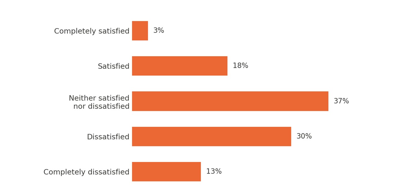
The team surveyed 139 residents (81% of whom live in Čengić Vila). The results were clear:
- 43% were dissatisfied or very dissatisfied with public spaces — only 21% were satisfied
- Yet 64% still use public spaces at least once a week — need exists, quality doesn't match it
- Top priorities for improvement: parking (63%), urban furniture like benches and bins (60%), green space design (49%), lighting (45%)
- Most wanted new addition: more greenery and trees (66%)
- A striking gap: most residents were unaware of an early-stage planning process already underway for part of their neighborhood (Kvadrant 30)
Three Panels, Three Different Rooms
The first panel was held at the premises of MZ Čengić Vila I, with residents in attendance. Here, students presented the survey findings and spatial mapping—this was purely a research-sharing session, with no municipal representatives present.
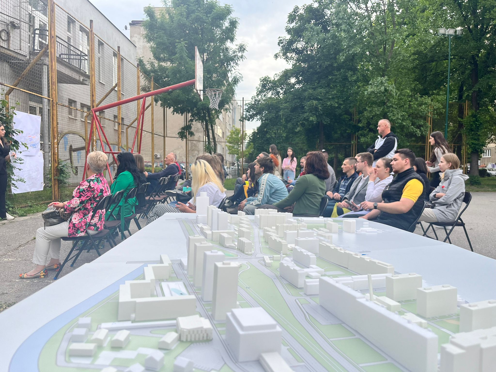
The second panel moved to the park next to the MZ, chosen specifically because a larger turnout was expected. This time, residents were joined by representatives from the Municipality. Students presented proposed intervention sites and sketches, translating what they'd heard in the first panel into concrete spatial ideas.
The third and final panel was held at the Novo Sarajevo Municipality building. Residents attended once more, but institutional presence had narrowed to a single municipal officer. Here, the final projects and chosen locations were presented—the decisive stage of the process —with the smallest institutional presence of the three.
What Happened Next
The final proposals — covering sites like the Miljacka riverbank, parking areas, the tram terminal, and a kindergarten — were delivered to the Municipality and the Institute for Planning. As of this writing, no budget commitment has been confirmed for their implementation.
Conclusion: In the following academic year, the Municipality assigned students a new task — a dog park near the Veterinary Faculty, on Malta — without referencing or acting on any of the findings from this Čengić Vila process. The survey, the three panels, the nine site proposals: none of it shaped what came next. The teaching team responded by independently launching a new survey and focus group for the dog park site, specifically to test whether "a dog park" matched what that neighborhood's residents needed — since the Municipality itself never asked.