
Geological settings - working with the geological map
Motivation
Students usually have problems with geological topics. There are many new terms and concepts, rocks are awful and dirty, rocks are not moving and evolving (which is not true) so they are not interesting and many other reasons.
But rocks create the bedrock which is source of soil parrent material which is essential for plants and other living thinks. Rocks creates the lithosphere which upper boundary is relief - the substantial part of the landscape - our environment. Rocks are source for many economic activities and natural resources as fossil fuels.
As a geographer (teacher of geography or other nature sciences) it is necessary to know a basic geological terms and information about geology of the World or our homeland.
Please, follow the instruction below and accomplish the tasks.
Instructions
Open the Landscape Atlas of the Czech Republic, Chapter 4 - Natural landscape, page 106-109 (page 6-7 in pdf) and answere these questions:
1. Look through the legend to the map No. 39 Geological settings. You can see that the legend is subdivided in cathegories according to the geological age (stratigraphy) e.g. Cenozoic, Mesozoic... If you are not familiar with geological timetable, download some from the internet and learn main subdivisions. In the legend there are also information about the type of the rocks (igneous, sedimentary or metamorphic), their composition, tectonics and etc.
2. Download the outline map of the CR and draw following (simplified) geological units:
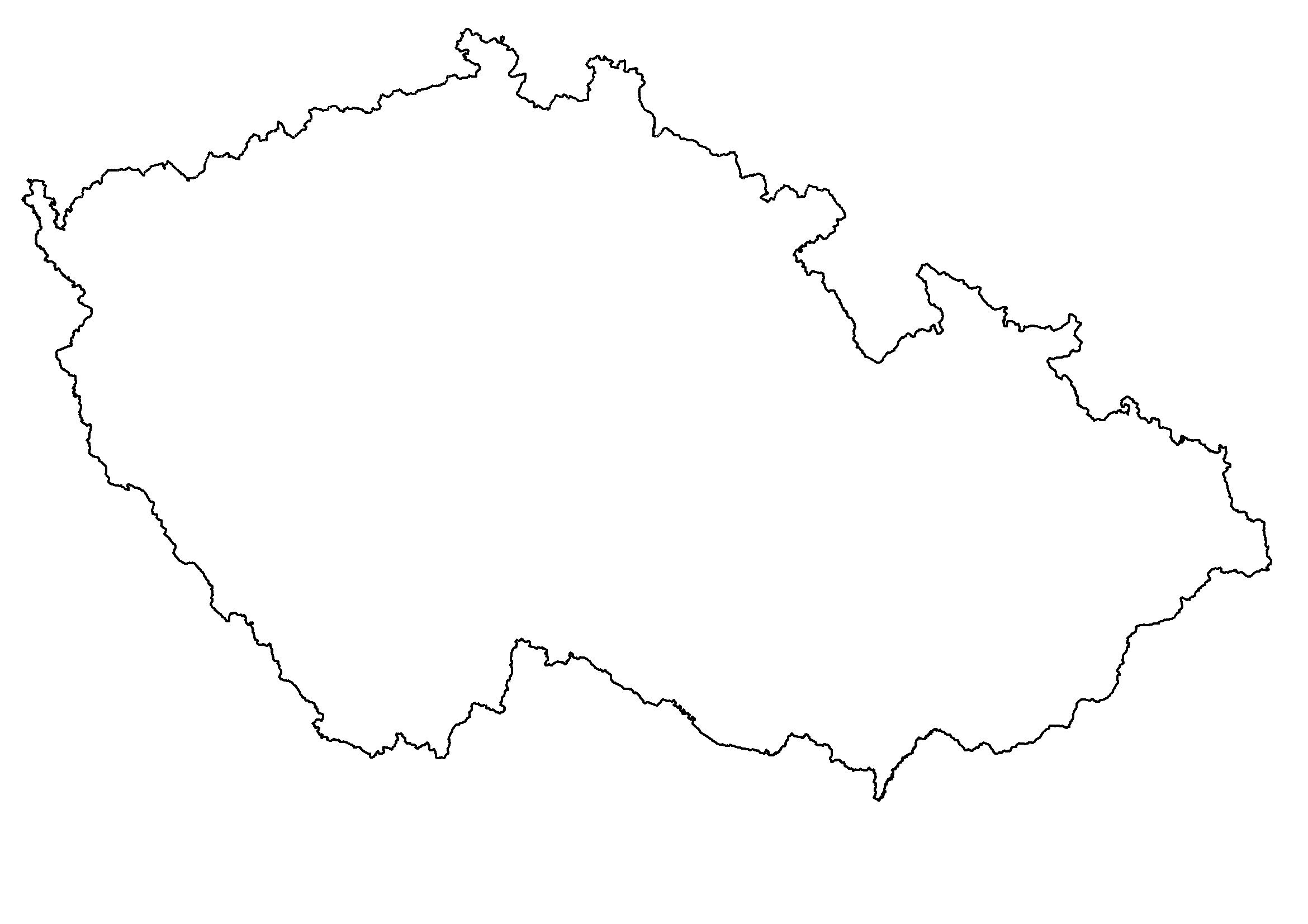
- border between the Bohemian Massif and the Western Carpathians
- Precambrian areas
- Paleozoic areas
- Mesozoic areas
- Cenozoic areas
- main neovolcanic areas
Write 2-3 examples of the rocks which are dominantly present in each area.
Upload your map here.